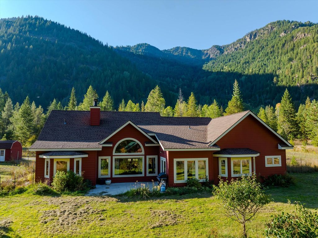
Noxon, MT
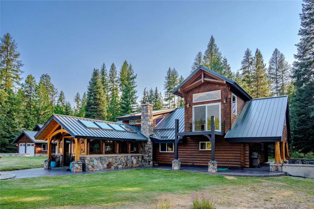
7 Conifer Lane, Noxon, MT 59853
3 BR · 2 BA · 2.03 AC
$635,000
Big water, big timber, and a one-school town below the Cabinet Mountains
This guide could not be found or may no longer be published.
Browse Area GuidesReviewed by Tatum Hoehn · September 22, 2026
Statistics as of June 30, 2025
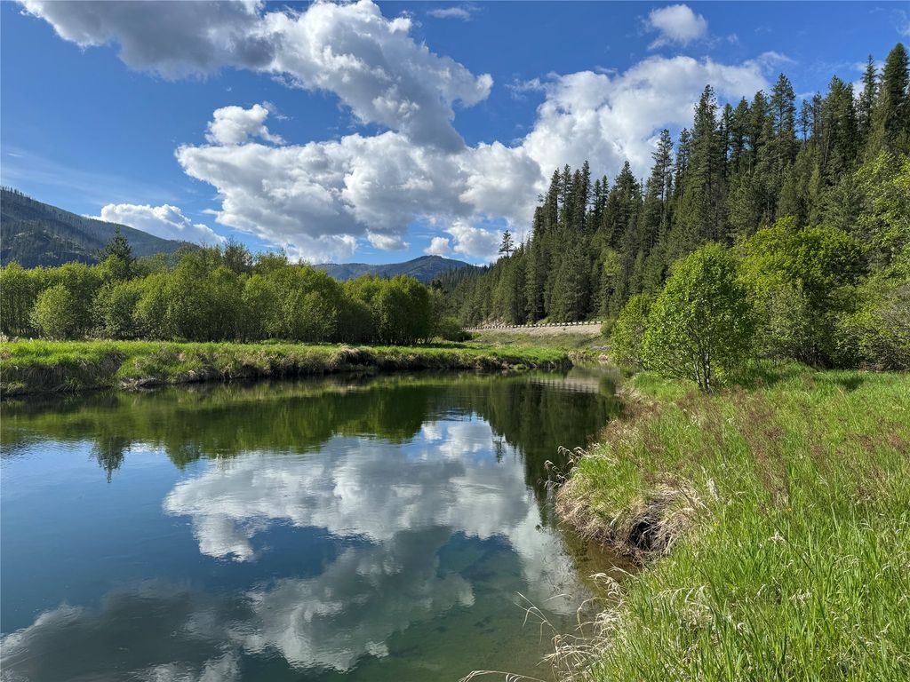
Noxon sits on the lower Clark Fork River in far western Sanders County, just a few river miles upstream of the Idaho line, where Montana Highway 200 threads a narrow, heavily timbered valley beneath the Cabinet Mountains. The town began in 1883 as a Northern Pacific railroad station and never grew far past its depot-town footprint; the 2020 census counted 255 people in the Noxon CDP, gathered around a K-12 school, a post office, and a handful of small businesses just off the highway. At roughly 2,200 feet, the valley floor is one of the lower, milder places to live in Montana, even as the wilderness peaks above town climb past 8,700 feet.
Two of the Northwest's larger hydroelectric dams define the water here. Avista's Noxon Rapids Dam, finished in 1959, backs the Clark Fork into Noxon Reservoir, about 8,000 acres at full pool, stretching up the valley nearly to Thompson Falls, while Cabinet Gorge Dam (1952), just downstream near the state line, forms a second reservoir below town. Between them, they made this quiet corner of Montana a serious flat-water and warm-water fishing destination, with U.S. Forest Service campgrounds and launches strung along both pools.
Be clear-eyed about the scale: Noxon is unincorporated, Sanders County government sits in Thompson Falls up the valley, and everyday services in town are minimal. Groceries, fuel, and a clinic visit typically mean a drive; Trout Creek is about 14 miles up MT 200, Thompson Falls is the county-seat errand run, and a larger town like Sandpoint, Idaho, or Libby handles the big trips. People choose Noxon precisely because so little stands between their front door and the water, the timber, and the game trails, and they plan their weeks accordingly.
Summer belongs to the water. The reservoir draws bass boats from across the region; Montana FWP logged roughly 40,000 angler days a year here in recent counts; and tournament weekends, lakeside campgrounds, and long, warm evenings at one of the state's lowest elevations give the valley an almost lake-country feel. Huckleberries ripen on the burned-over and logged slopes in late summer, and fall shifts the town's attention to hunting season on the national forest that surrounds it. The honest caveat of late summer is wildfire smoke: in a heavily timbered valley this narrow, regional fires can settle haze over the river for stretches of August, and locals track fire season the way coastal towns track storms.
Winter at 2,200 feet is gentler than most of Montana — but it is still a northwest Montana winter in a steep, shaded valley: expect real snow, icy stretches of MT 200, and short, often gray days when clouds sit on the river. The reward is a quiet season locals genuinely use — ice fishing the sloughs and bays, snowmobiling groomed Forest Service routes, and skiing and sledding trips over to the Idaho side. Homes here are set up for it, with plowing arrangements, generators, and woodsheds treated as standard equipment rather than extras, and a capable four-season vehicle is simply part of the household kit.
Everything moves along Montana Highway 200, the two-lane that follows the Clark Fork from Thompson Falls past Trout Creek and Noxon to the Idaho line at Heron. Trout Creek is about 14 miles up the road; Thompson Falls, the county seat, is the standard run for government business; and many households on this end of the county point west for the big stuff. Sandpoint, Idaho is roughly an hour away and doubles as the regional shopping town, while Libby is reached over the Bull River–MT 56 route to the north. Freight trains still roll the valley's historic rail line, and Sandpoint hosts the only operating Amtrak station in Idaho, a stop on the Empire Builder; commercial flights mean a long drive to Spokane or Missoula. There is no public transit: plan on driving in every season.
Healthcare deserves the same honest planning. There is no hospital in the west end of Sanders County: Clark Fork Valley Hospital operates in Plains, well up the valley past Thompson Falls, with family-medicine clinics in Thompson Falls, and many Noxon-area residents use Sandpoint for hospital and specialty care across the state line. Healthcare and other amenities are exactly the kinds of details that may change year to year, so ask a local agent for the current picture.
Housing around Noxon runs to three broad types: places with river or reservoir frontage along the Clark Fork's pools, timbered acreage up the creek drainages that climb toward the Cabinets, and modest homes in and near the old townsite. Many of the homes are self-sufficient, with wells and septic systems on site. Some parcels sit at the end of long private or forest-road approaches. Owners weigh power-line distance, generator and solar setups, snow-load, and defensible space as routine parts of a purchase. Near the water, buyers should also sort out where private ownership ends and Avista's hydro-project or flowage lands begin, and how reservoir operations move the shoreline through the year. Questions about easements, access, and private ownership can be answered by a local agent and a title search answer parcel by parcel.
The economy is compact and stable for a town it's size. Avista's two dams — Noxon Rapids and Cabinet Gorge are the signature employers and the reason the valley has the infrastructure it does; the K-12 school district, forest and timber work, small trades, and a growing share of retirees and remote workers round it out. Land use is administered by Sanders County rather than any town government, so rules vary by parcel and are lighter than newcomers from zoned areas, which cuts both ways, and makes due diligence on access, easements, water rights, and neighboring uses the local habit rather than the exception.
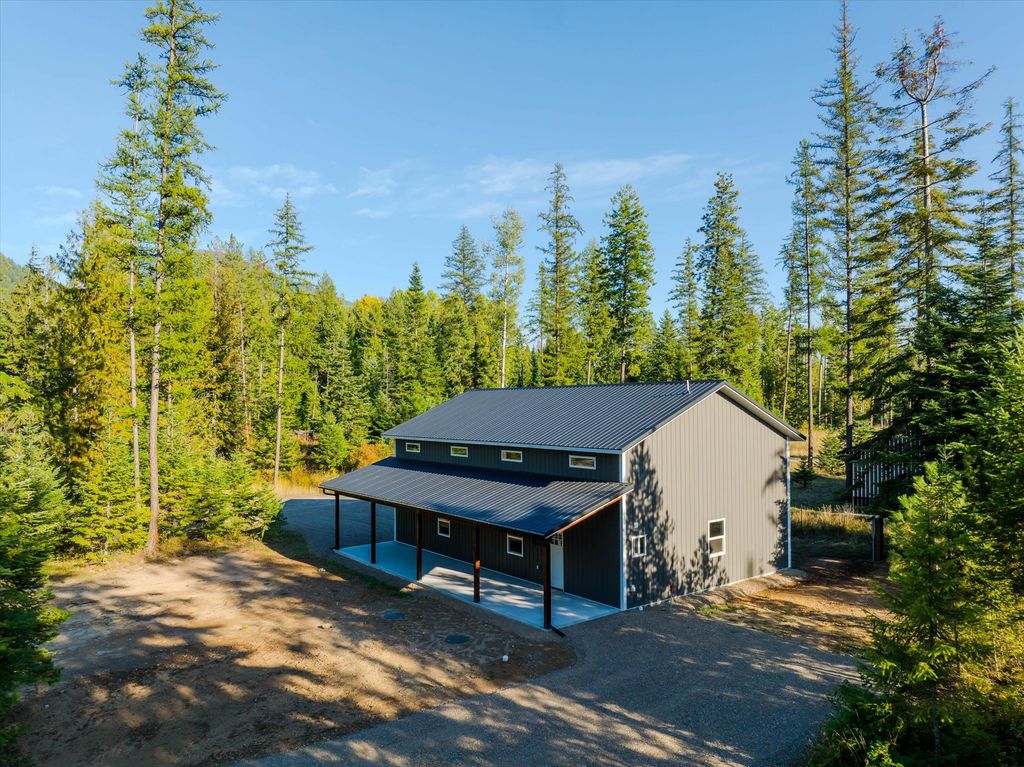
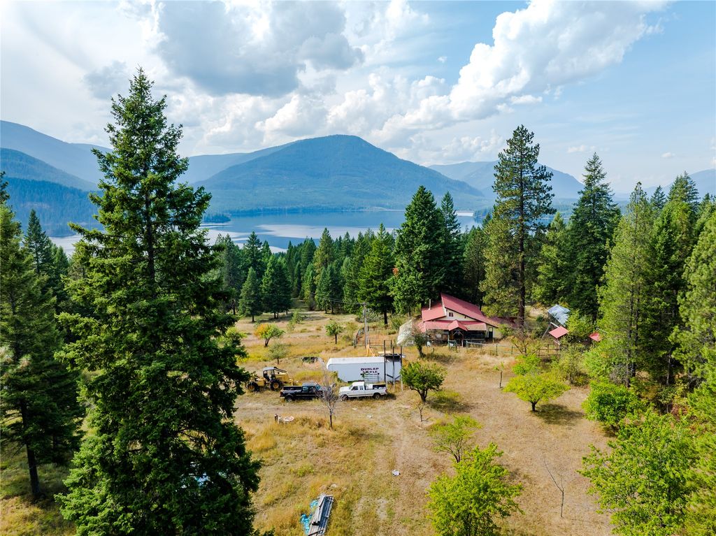
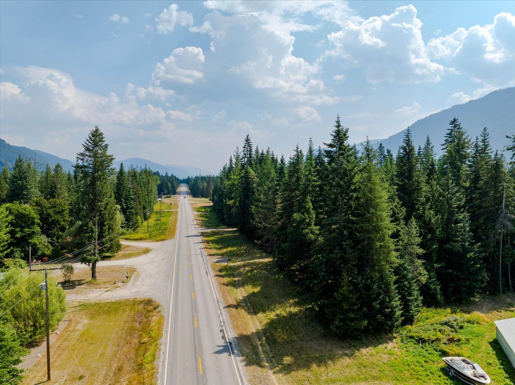
No current property results were returned for Noxon.
Reservoir frontage versus Avista project lands, forest-road access and easements, wells, septic, off-grid setups, and winter drive times all change parcel to parcel on the lower Clark Fork. Our agents who work the Noxon and Trout Creek end of Sanders County can give you the current picture.
Reviewed by Tatum Hoehn on September 22, 2026.
Area Guide content is unavailable.