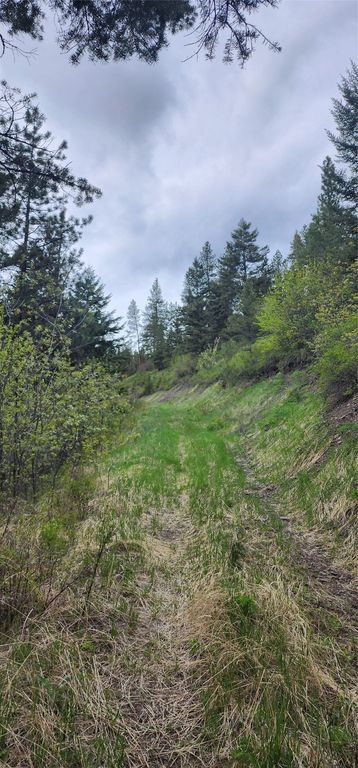
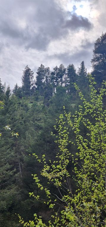
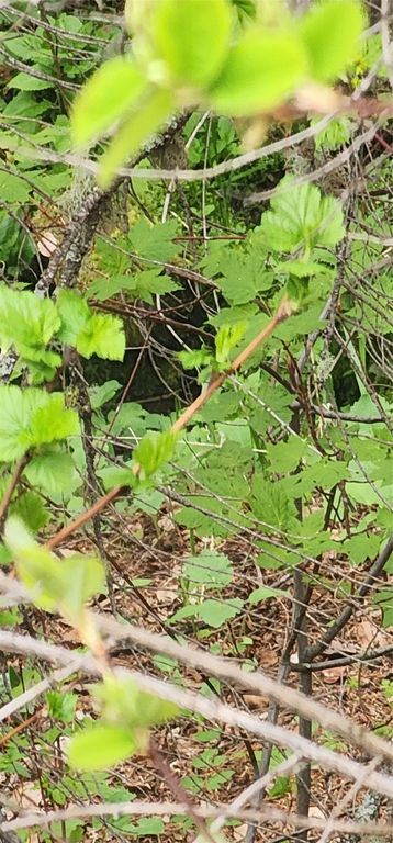

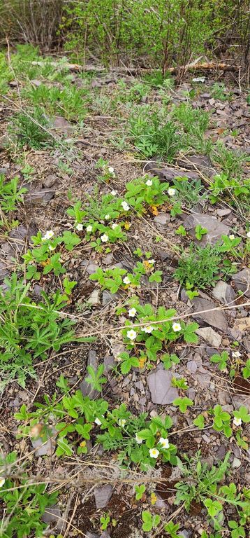
Seller Financing with significant down! Privacy, wildlife, easy commute. This property is an off-grid dream. Backing up to the MPG ranch conservation area, you will find lots of wildlife and loads of privacy at this end-of-the road parcel. Listen to the wind through the trees and the creek bubbling at the bottom of the ravine. This haven of privacy is located in the 204 Hunt unit and would be a great place for a cabin or off grid home. There are year-round residents in the area and caring neighbors plow the road. Possible owner finance with significant down. It is the responsibility of buyers and their agents to verify all information regarding this property. Info is deemed reliable but not guaranteed by listing agent or listing office. Call to schedule a showing. Full legal description in supplemental remarks. Be sure to check out 3D button on attached map to see elevations. Full Legal Description: Legal Description: Tract 10 A tract of land located in and being a portion of the NE1/4 of Section 22, Township 11 North, Range 19 West, P.M.M., Missoula County, Montana, and being more particularly described as follows: Beginning at the one-quarter Section corner common to Sections 15 and 22; thence S.00°04’28”W., 1165.13 feet along the mid-section line to the true point of beginning; thence S.39°28’21”E., 630.08 feet, said point being the center of a 50 foot radius cul-de-sac easement; thence the following two courses along the centerline of a 60 foot road easement: S.39°28’21”E., 510.68 feet to a point on a tangent curve; thence Southeasterly along said tangent curve being concave to the Southwest and having a radius of 496.85 feet a distance of 40.00 feet to a point on a tangent line; thence leaving the centerline of said 60 foot road easement and running S.63°20’17”W., 840.38 feet; thence N.00°04’28”E., 1289.55 feet along the mid-section line to the true point of beginning. Recording Reference: Book 1077 Page 508 Micro Records It is the responsibility of Buyer(s) and/or their Agent(s) to verify all information regarding the property. The information is provided by outside resources and is deemed reliable yet is not guaranteed by the listing agent or listing office.
Interior features
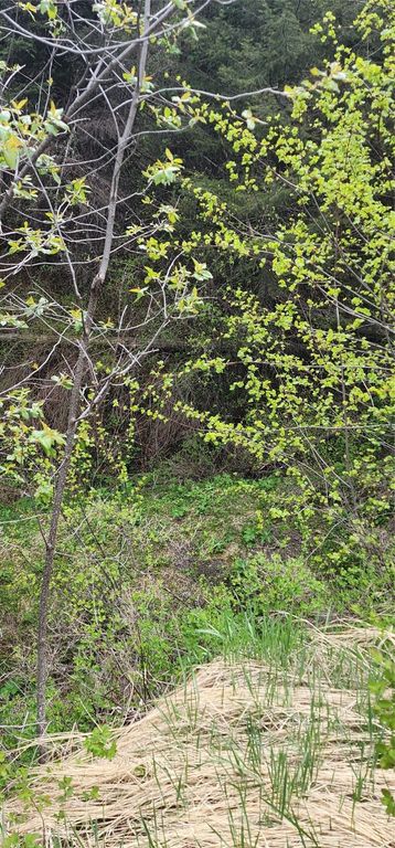
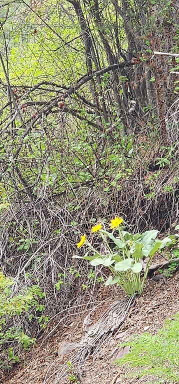
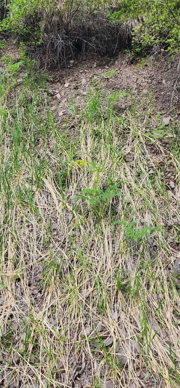
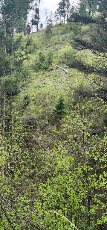
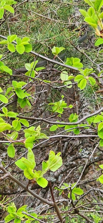
- Lot descriptionSecluded, See Remarks, Wooded
Exterior features
- Body of waterCreek, Water Access
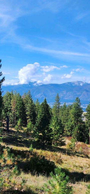
- ViewMountain(s)
- Lot descriptionSecluded, See Remarks, Wooded
Contact Agent
Brad Little